Stanford Humanities Center
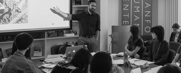
The David Rumsey Map Center is a unique collections-based resource designed to provide access to cartographic information in all of its forms from paper to digital. In addition to housing a large collection of rare atlases and maps, it is furnished with high-resolution screens equipped with interactive tools for engaging with the digital images.
Please register here.
April 19, 2016
6:00-7:00 pm Grand Opening and Open House
April 20, 2016
10:00-10:45 Grant Parker: Mapmaking Before Maps
10:45-11:30 Chet Van Duzer: Early Maps as Sources for Historical Research
11:30-12:15 Anne Knowles: What Could Lee See at Gettysburg?
12:15-1:15 Break
1:15-2:15 Anne Knowles: How GIS Turns Maps into Data and Stories, A Demo
2:15-3:00 David Asbury: How to Tell a Story with Esri Story Maps, A Demo
3:00-3:30 Break
3:30-4:30 David Rumsey, G. Salim Mohammed, Paul Saffo, and Center Staff: Touch Screen Exhibit Demo, iPads, Oculus Rift, Historic Survey Instruments, Mova Globes
4:30-6:00 Open House
April 21, 2016
8:45-9:45 Susan Schulten: Children's Maps and Visual Literacy in Early America
9:45-10:30 David Rumsey: Pictorial Maps
10:30-10:45 Break
10:45-11:30 Kären Wigen: Unpacking the Omi Kuniezu : A Monumental Manuscript Map at the David Rumsey Map Center
11:30-12:15 Zephyr Frank: Historical Maps and Economic Histories
12:15-1:15 Break
1:15-2:15 Center for Spatial and Textual Analysis (CESTA) Workshop
2:15-3:15 Stace Maples: Hacking Rumsey Center Collections
3:15-3:30 Break
3:30-4:15 Chet Van Duzer: New Light on Henricus Martellus’s World Map at Yale (c. 1491): Multispectral Imaging and Early Renaissance Cartography
4:15-5:00 Grant Parker: Student presentations
5:00-6:00 Open House
April 22, 2016
9:00 am - 5:00 pm Open House

When
Audience
- General Public
- Faculty/Staff
- Students
- Alumni/Friends
- Members
Share